Agricultural Futures?
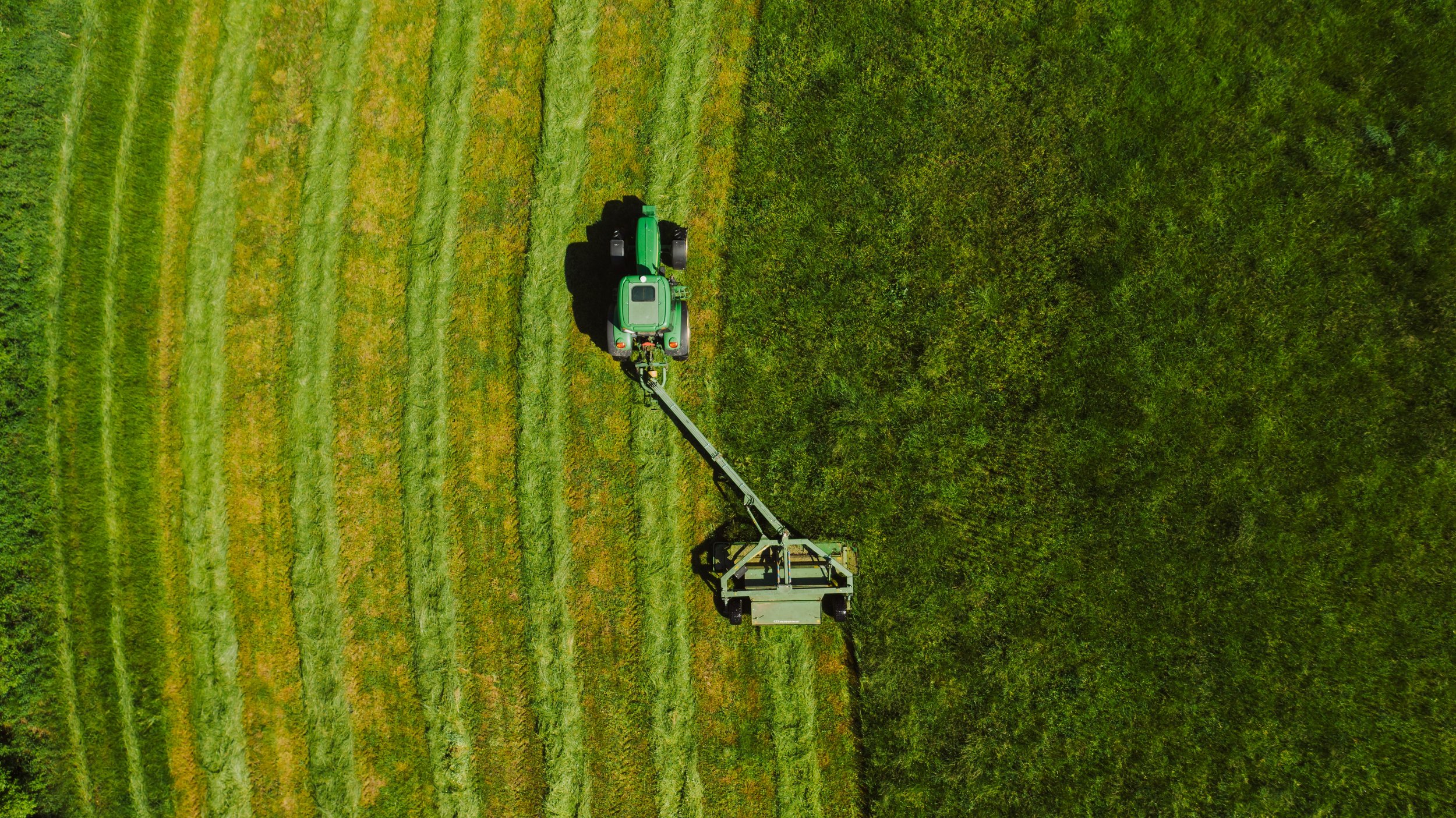
Down on the farm, scale, automation and location (Deere is one of few companies that have its own global satellite augmentation network) have long been as important as feed, fuel and fertiliser. #agtech has been around since mechanisation, helping keep farm gate and supermarket shelf prices keen to a point where far less of average income is spent on a basket of goods than it was in 1970 or 1947 (all sorts of UK CPI inflation data here).
But I digress. As CES opens CNBC have splashed on Deere and satellite connectivity. Of course the space sector is “hot right now”, witness SpaceX’s Transporter ride share putting 132 satellites of various sizes and capabilities into orbit on the new year rideshare, copious funding for many upstream (hardware in space) ventures and space remaining or even gaining greater presence in the public consciousness. But really, is this a new story?
And if it is, what is the story here, or one of the stories? What follows is of course pure conjecture…
As plant and vehicles moves to what might be termed the Rolls Royce model, hardware as a service, or PAYG, does the migration to an annuity income model (something of a double edged sword?) and the floods of data from all that instrumented kit open up the possibility of alternative lines of business. Could that be all that this is about? As relay satellite constellations rapidly become reality is this where that connectivity, ubiquitous, low latency, hits the road?
Remember Flash Boys? 4 milliseconds was the marginal gain of a super-straight fibre-optic cable for high frequency traders – four milliseconds! It is and was all about time then - have times changed? So, bear with me, are plant manufacturers looking to monetise their (in this case agricultural) data value chain in new ways in close to real time?
- Plant performance data to optimise maintenance schedules, upgrades etc, driving out costs
- Crop emergence, growth, harvest, moisture content etc (from timings of plant use and image analytics using on plant cameras, high resolution satellite imagery and time series open source imagery)
- Fuel usage and feed and fertiliser dosing
- Weather
- Historic yield and market data
You get the idea! All kinds of data modelling and predictive analytics could flow. Location arbitrage on wheat futures anyone? I jest of course. However, these is a market for those insights……….

